
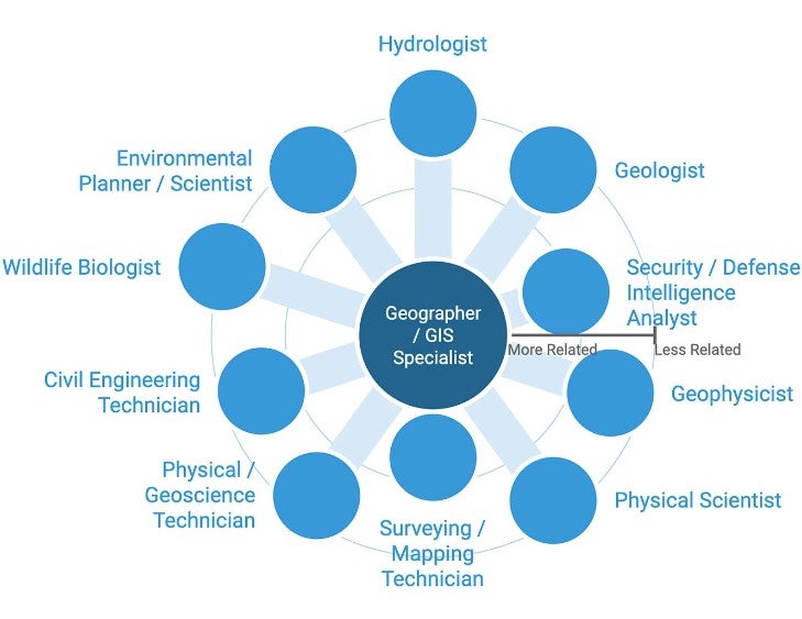
A Geographic Information Systems Analyst, or GIS Analyst, is a hybrid career of data analysis, cartography (map making) and programming
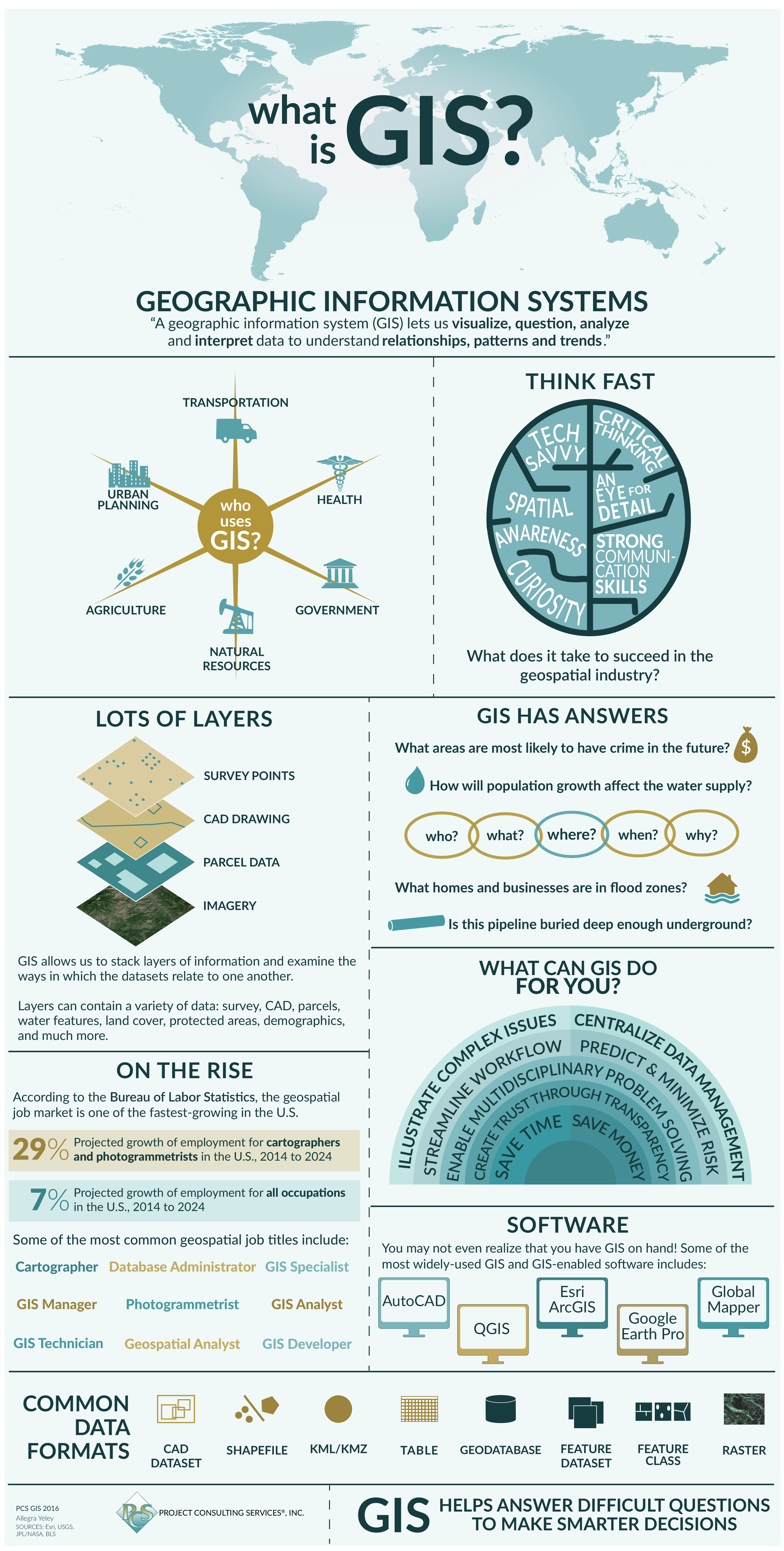
What is GIS?
Geographic Information Systems (GIS) store, analyze, and visualize data for geographic positions on Earth’s surface.
GIS stands for Geographic Information Systems and is a computer-based tool that examines spatial relationships, patterns, and trends in geography.
GIS mapping produces visualizations of geospatial information. The 4 main ideas of Geographic Information Systems (GIS) are:
- Create geographic data.
- Manage it in a database.
- Analyze and find patterns.
- Display it on a map.
Because viewing and analyzing data on maps impacts our understanding of data, we can make better decisions using GIS.
It helps us understand what is where. The analysis becomes simple. Answers become clear.
Because you don’t fully understand your data until you see how it relates to other things in a geographic context.
Source: https://gisgeography.com/
GIS Certificate
GIS certificates offer a practical and focused approach to gaining proficiency in Geographic Information Systems (GIS) without the extensive time commitment of a degree program. They often cover topics such as GIS software proficiency, spatial data analysis, cartography, and database management. These skills enhance career opportunities where spatial data plays a crucial role in decision-making and problem-solving.
Bachelor's Degree in GIS
A bachelor's degree in GIS typically takes four years to complete and provides a broad understanding of geospatial technology. Students learn how to collect, manage, and analyze geographic data, as well as develop essential GIS skills.
Master's Degree in GIS
For those seeking advanced knowledge and specialization, a master's degree in GIS is an excellent choice. These programs delve more deeply into GIS concepts and often require students to complete a thesis or project. A master's degree can open doors to leadership roles and research opportunities in the field.
Many industries employ professionals with a background in geography and GIS including but not limited to:
- Government (Federal, state, and regional/local)
- Utilities (electric, gas, water, telecom)
- Environment/Natural resources
- Mining and Oil
- Health/Epidemiology
- Military intelligence, emergency, and public safety
- Transportation and navigation
- Engineering, surveying, and construction
- Agriculture and soil
GIS is a relatively new technology which means the field is constantly expanding and developing across multiple industries.
Text source: https://gisgeography.com/gis-degree/
One of the most exciting aspects of earning a GIS degree is the wide range of career opportunities it opens up. Some of the roles and industries where GIS professionals are in high demand include:
1. GIS Manager
GIS managers oversee organizations and teams that collect, process, and interpret geographic data to support strategic decision-making processes. They play a crucial role in fields like urban planning, agriculture, and disaster management. The average GIS Manager makes $75,000 with top earners making upwards of $100,000.
2. Cartographer
Cartographers specialize in creating maps that communicate complex spatial information effectively. They work in various industries, including publishing, government response, and environmental conservation. Cartographer salaries vary depending on experience and education, but the average salary is $72,000.
3. Climate Scientist
Climate and environmental scientists use GIS technology to monitor and analyze environmental data, helping to address issues such as climate change, conservation, and natural resource management. Climate scientist salaries range from $66,000 to $99,000 depending on location and experience.
4. Urban Planner
Urban planners utilize GIS tools to design and optimize city layouts, transportation systems, and land use plans. They contribute to creating sustainable and efficient urban environments in metropolitan cities. The average urban planner salary is $80,000 per year, but the top earners can make upwards of $120,000.
5. Remote Sensing
Analyst Professionals in this field use remote sensing technology and GIS to collect data from satellites and other sources to monitor changes in the Earth's surface, making them critical in areas such as agriculture and forestry. On average, remote sensing analysts make $97,000 per year, with the top analysts making $150,000.
Source: https://www.umassglobal.edu/news-and-events/blog/guide-to-gis-degrees#:~:text=Geographic%20Information%20Systems%20are%20an,remote%20sensing%2C….
The Exciting World of GIS Technology Careers
Dive into the dynamic realm of GIS technology careers, where professionals utilize cutting-edge spatial data analysis and mapping techniques to solve real-world challenges and drive innovation across various industries.